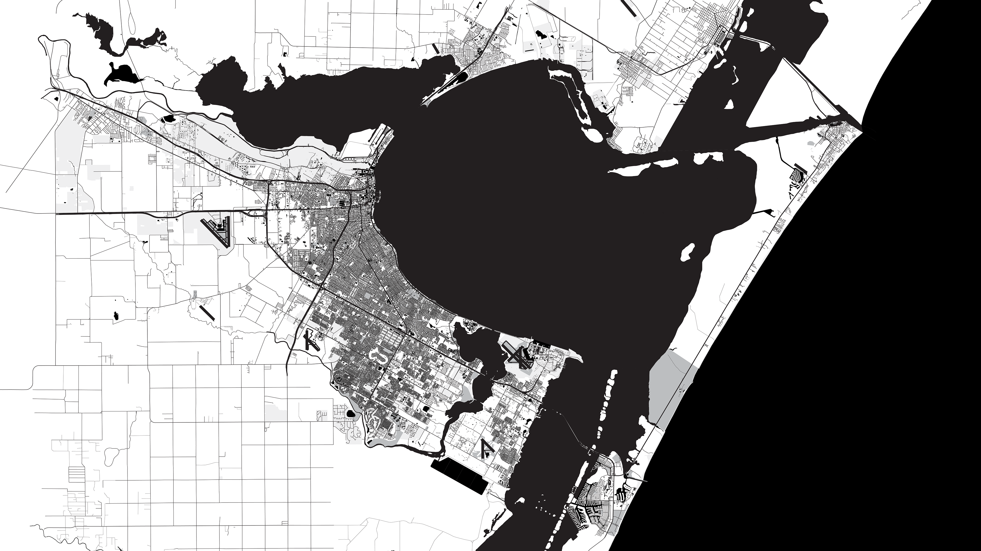
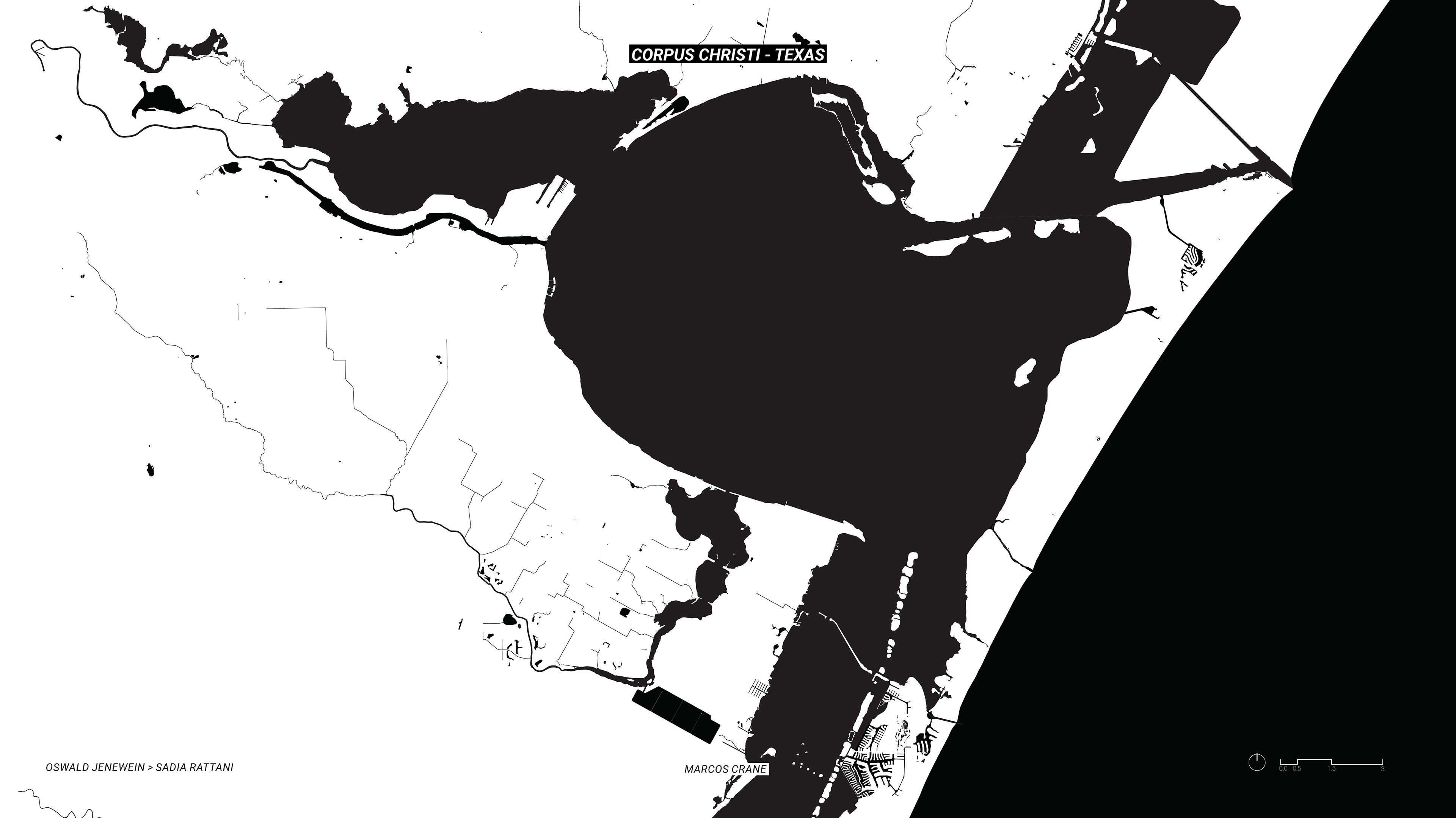
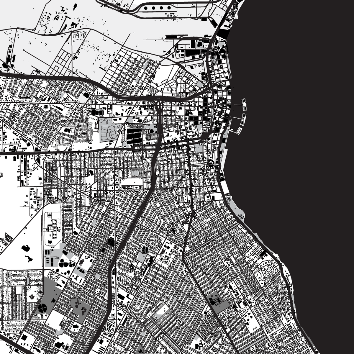
We were tasked with mapping a coastal port city of the Gulf of Mexico. GIS software was used to produce these maps. The data was edited and combined in Adobe Illustrator.
Bodies of water;
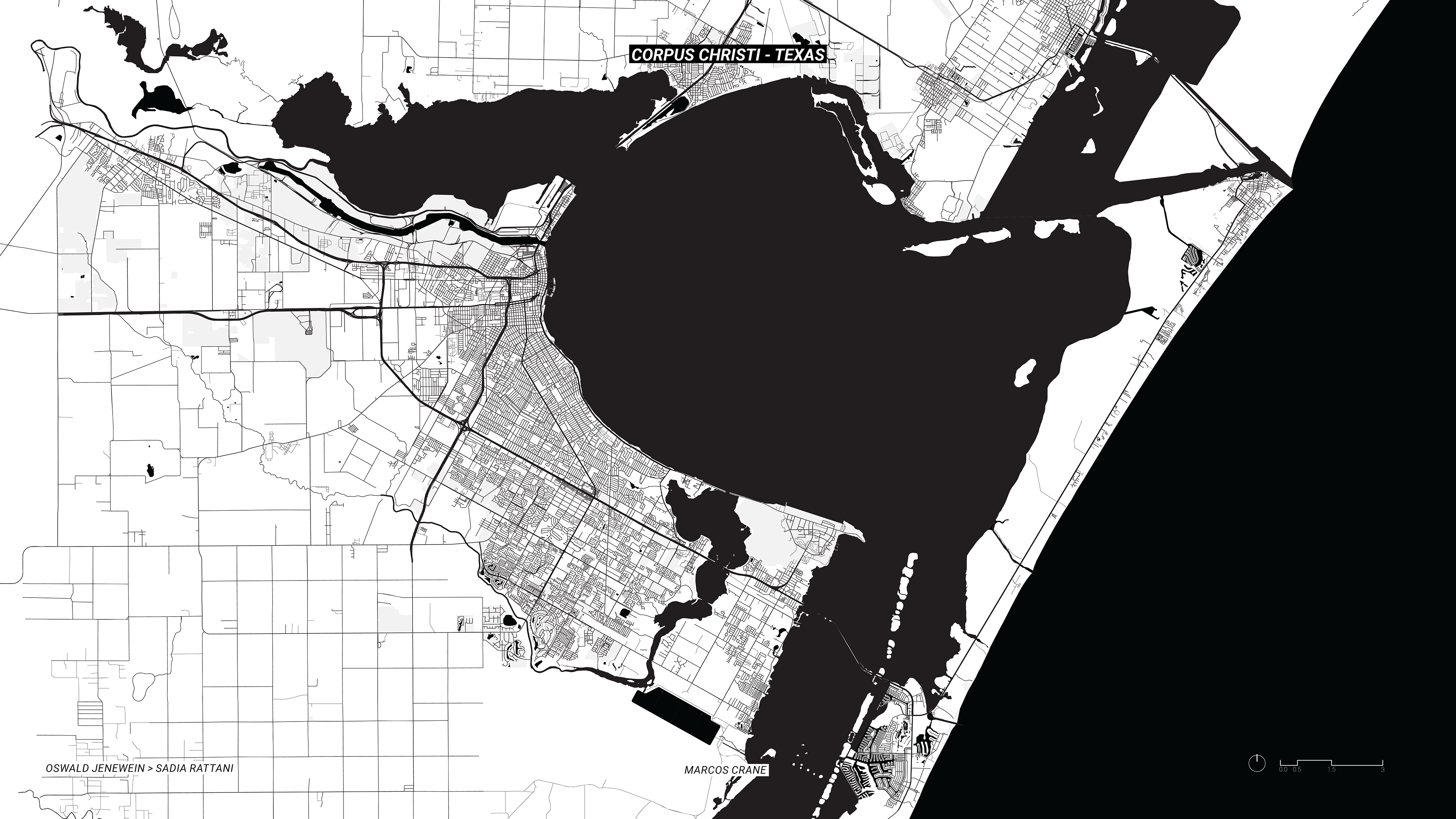
Roads;
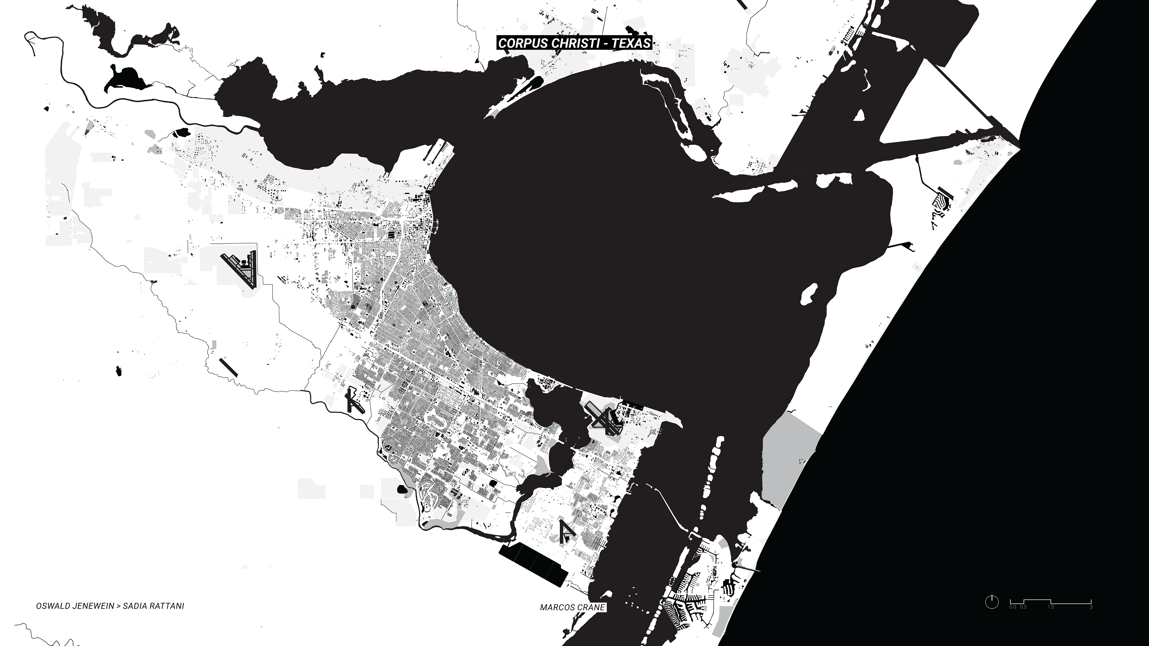
and buildings were combined to produce the highly detailed map of the city. Zoomed in details of these objects are seen below.

Details of the suburbs (above) and the industrial port access (below)